CAA Licensed · £10M Insured · Same-Day Report
Roof & Chimney Inspection
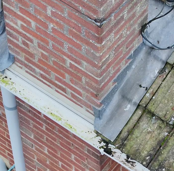
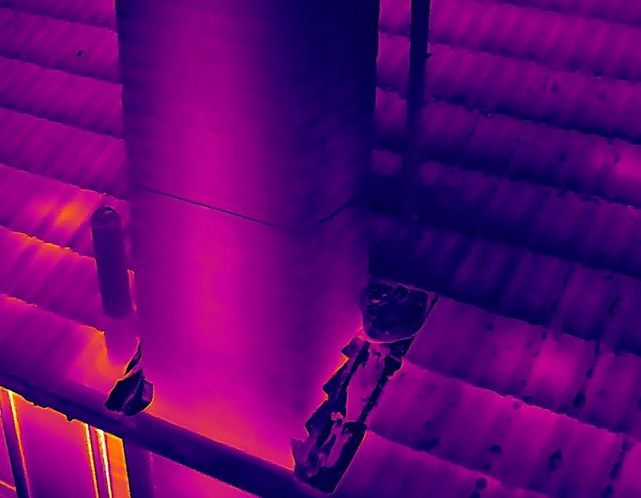
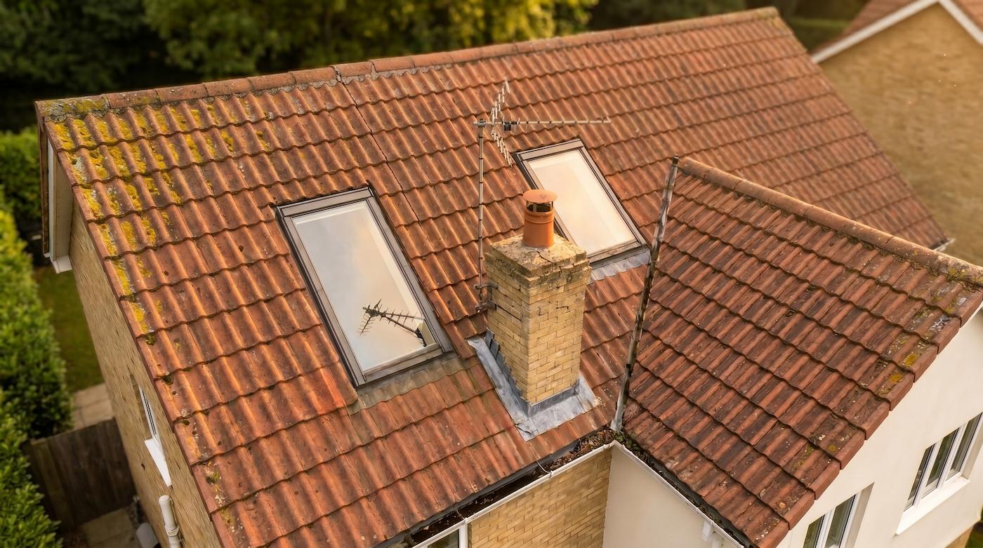
Your Roof Has Secrets.
We Find Them.
The UK's only aerial inspection that sees water ingress before it reaches your ceiling. From a quick visual check to a full radiometric thermal survey, with evidence-quality results, delivered the same day.
✓ From £199
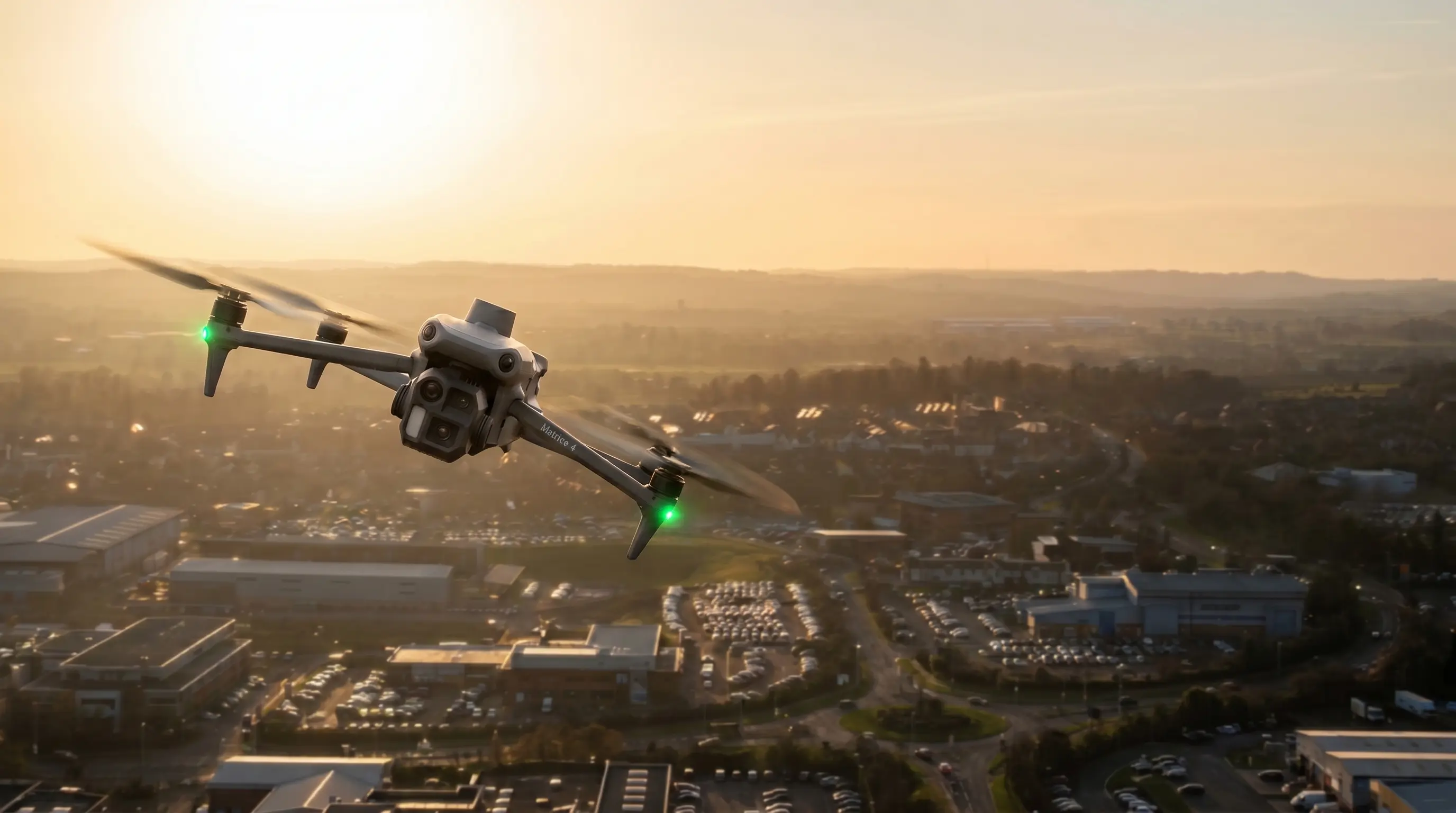
✓ No ladders or scaffolding
✓ Report within 24hrs
✓ Insurance-ready documentation