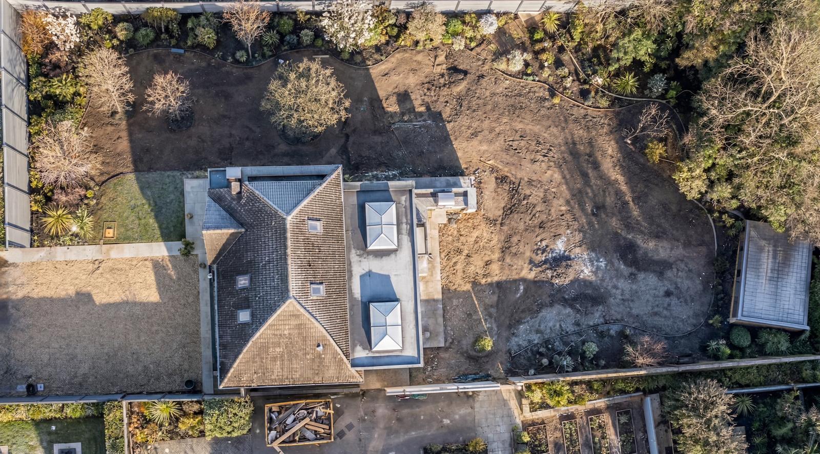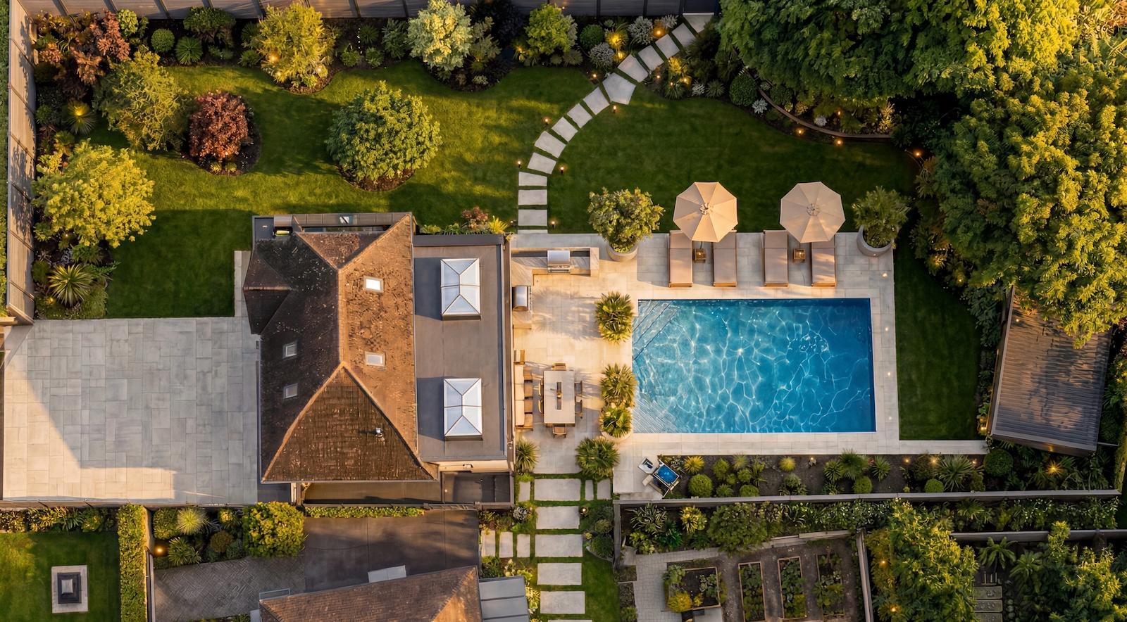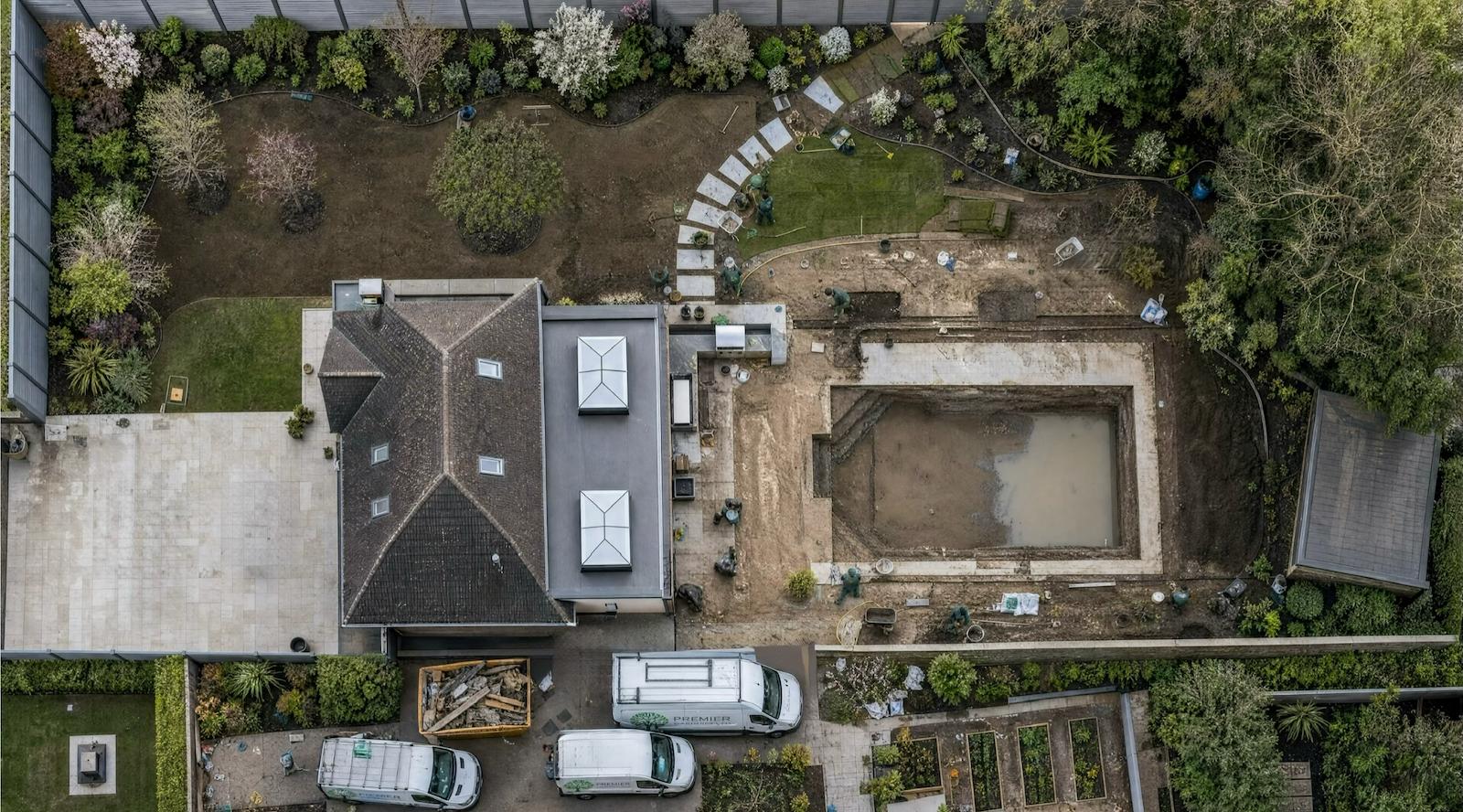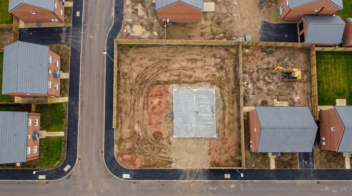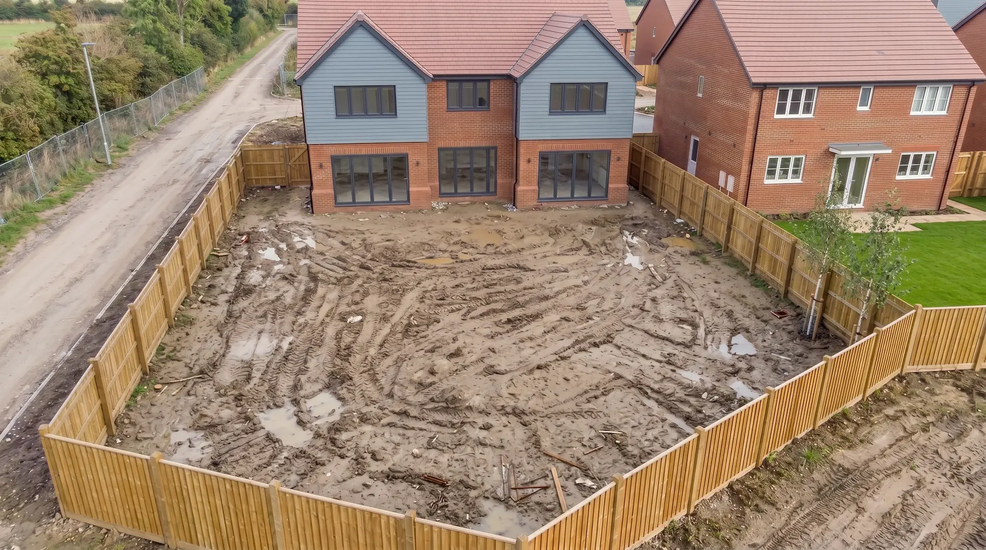
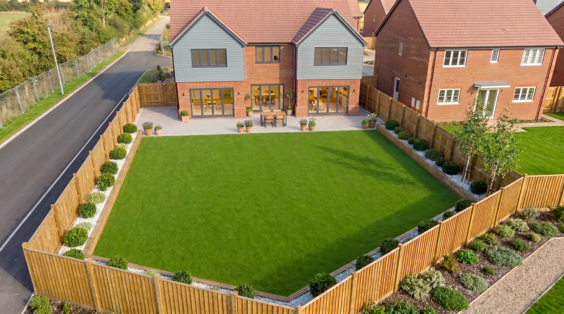
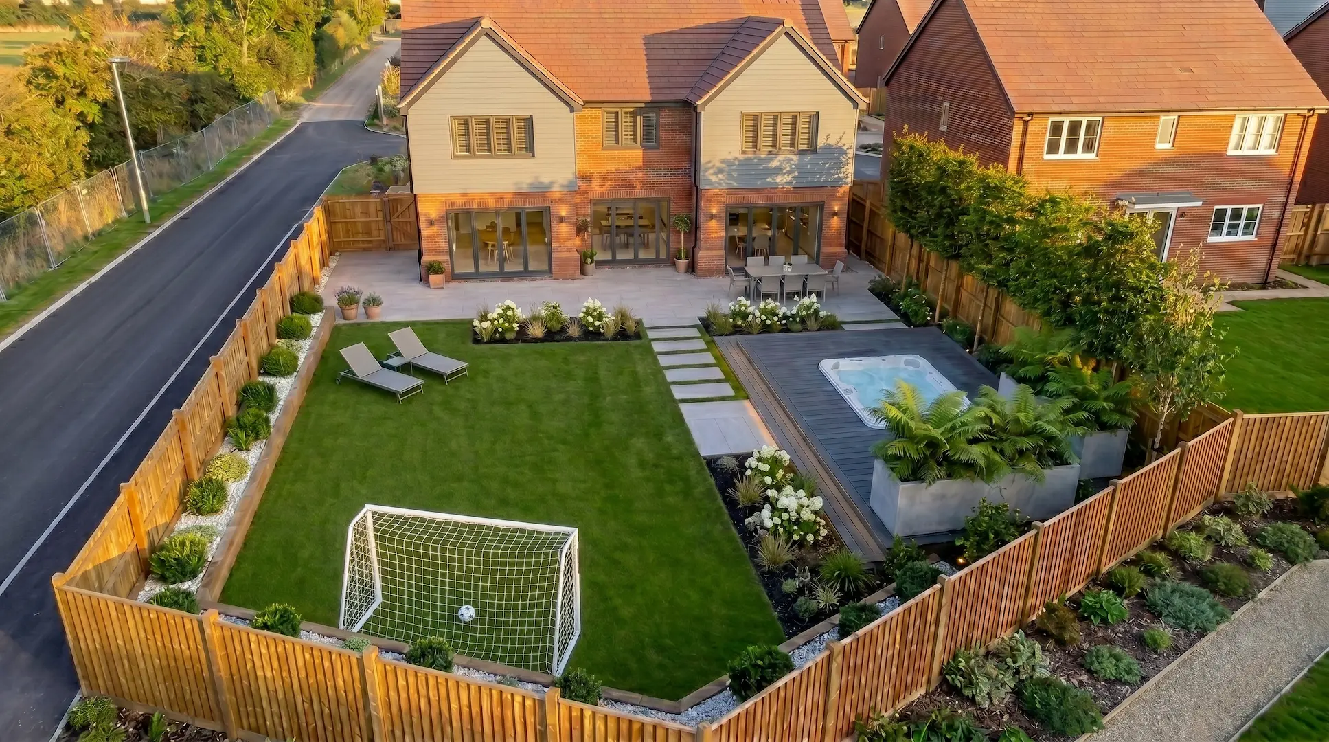
The Designer's Canvas
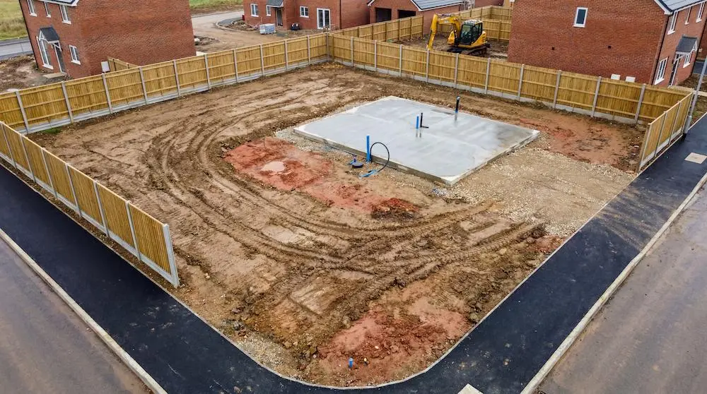
Before
For Landscape Designers & Developers
The raw canvas your
designs need.
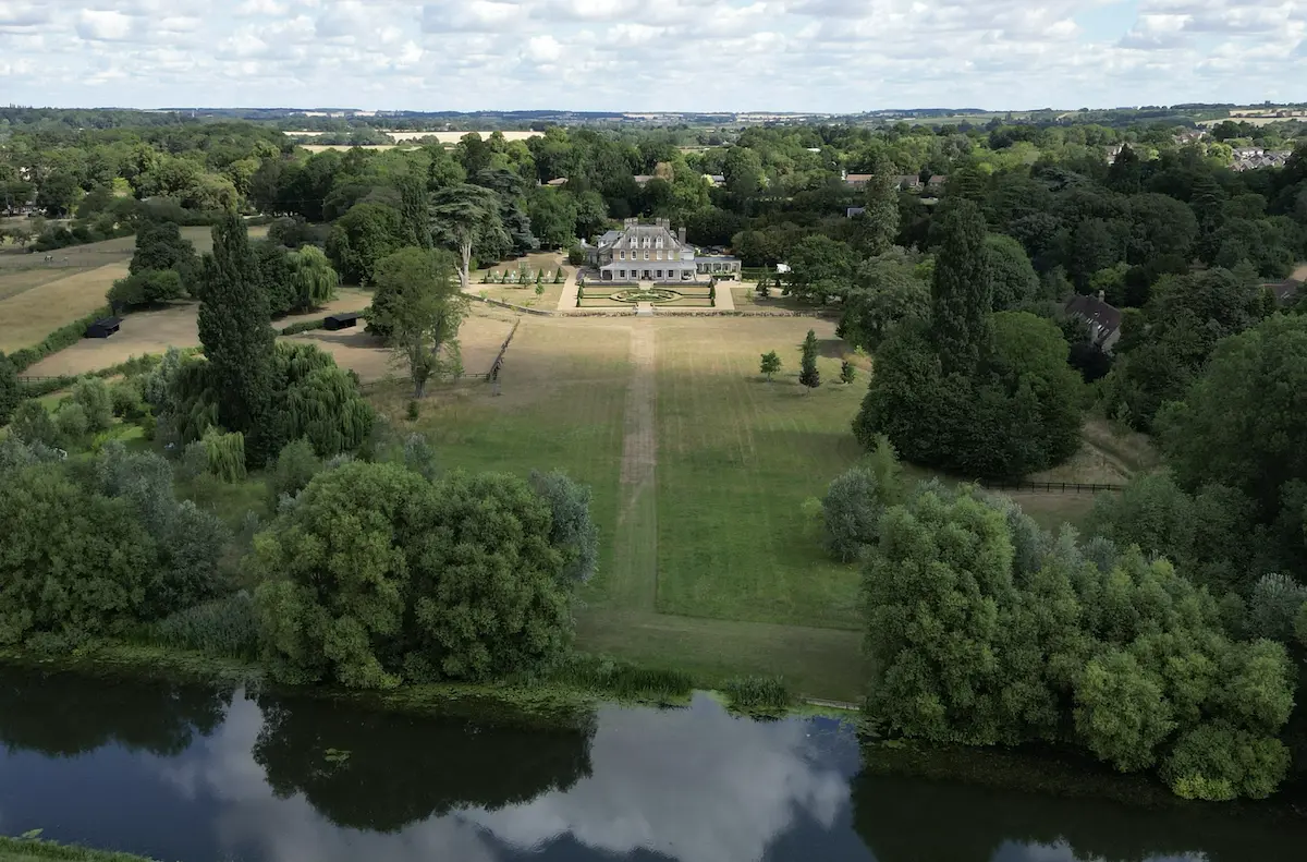
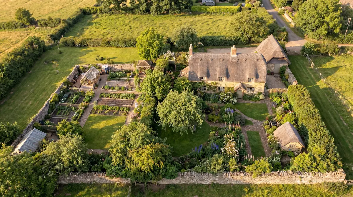
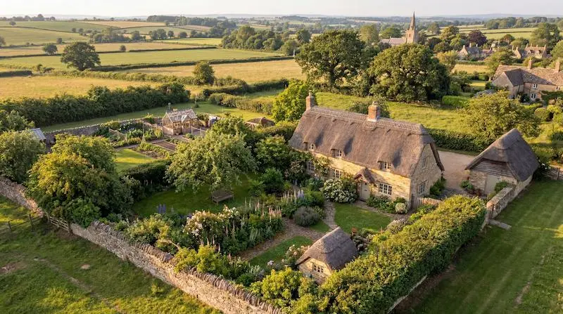
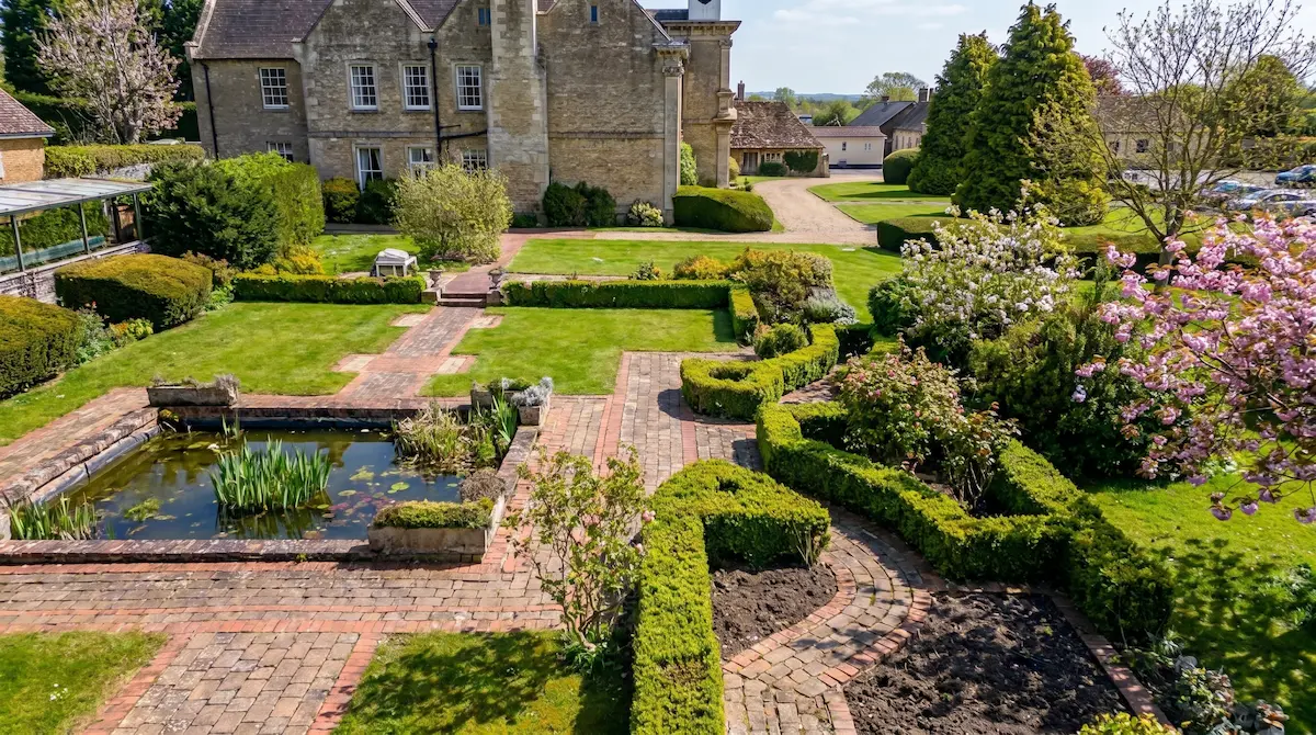
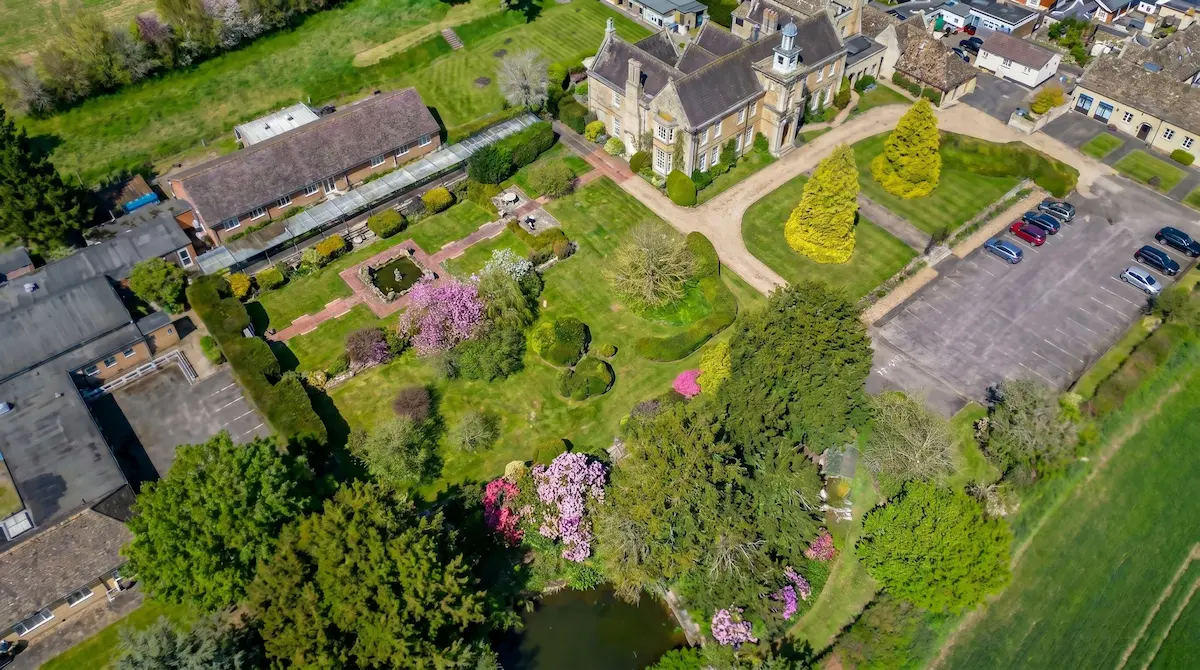
Designers, garden architects and developers don't just need a flat map. They need to see a space the way they'll present it. The Designer's Canvas captures your plot from the angle the eye reads best: a high, context-rich aerial view that shows levels, boundaries, materials and how the whole space sits together.
It's the reference your concepts grow from: mood boards, client pitches, before-and-after mockups, planning conversations. We capture the real space in rich detail. You bring the vision.
Landscape designers
Garden architects
Residential developers
Planning applications
Client presentations
This service provides aerial photography only, not a legal boundary survey or certified land measurement.